Geography
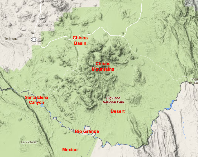
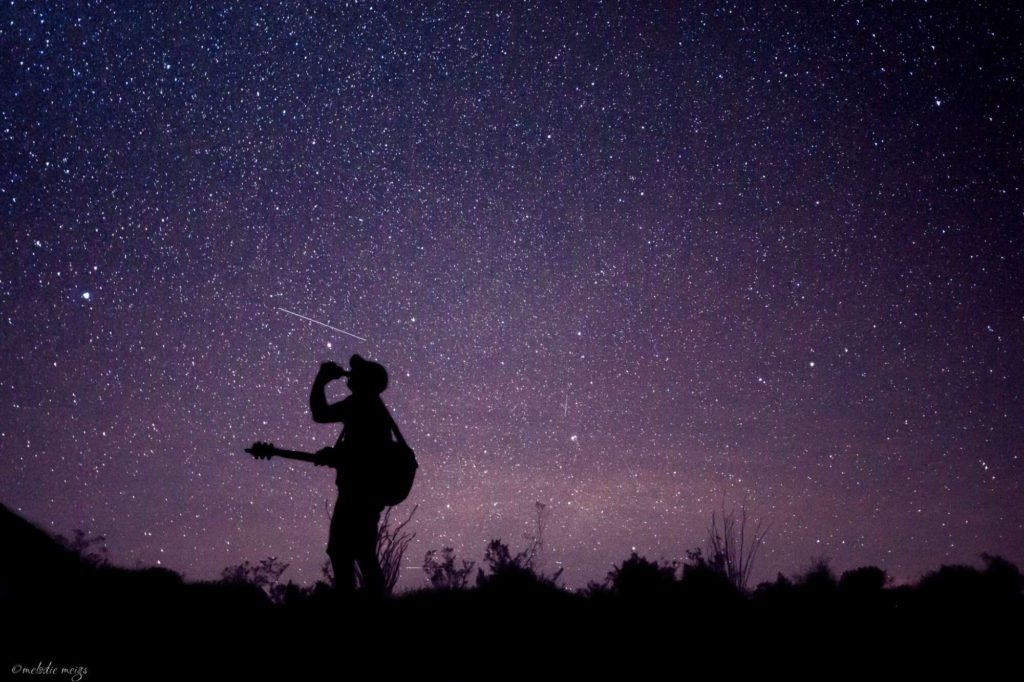
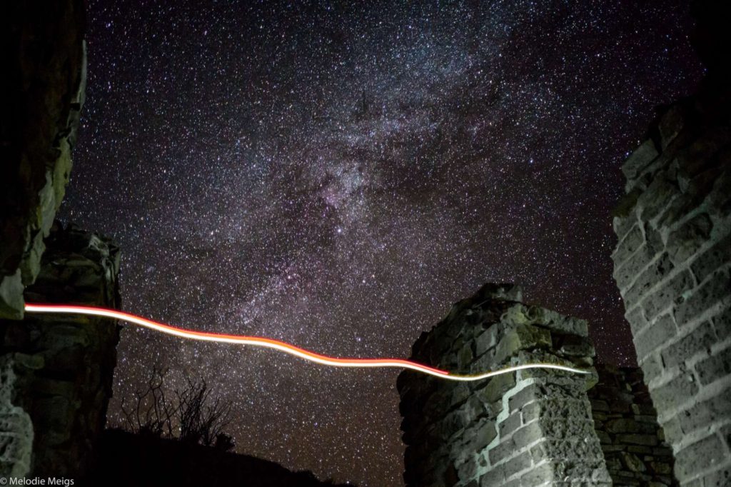
Big Bend is located in the southwest arm of Texas on the border of Mexico. The park is comprised of 3 different areas: vast desert, the Chisos Mountains and Chisos Basin in the center of the park, and the Rio Grande River marking the Mexico border along the south. Make no mistake, the park is a giant desert and we were sweating during the day in the middle of December, but the landscape’s beautiful in its own way and varies quite a bit between the areas. The free visitor’s guide and map are the best I’ve seen from a national park for figuring out what drives and hikes to do. It’s also recognized as one of the darkest places on earth by the International Dark Sky Association.

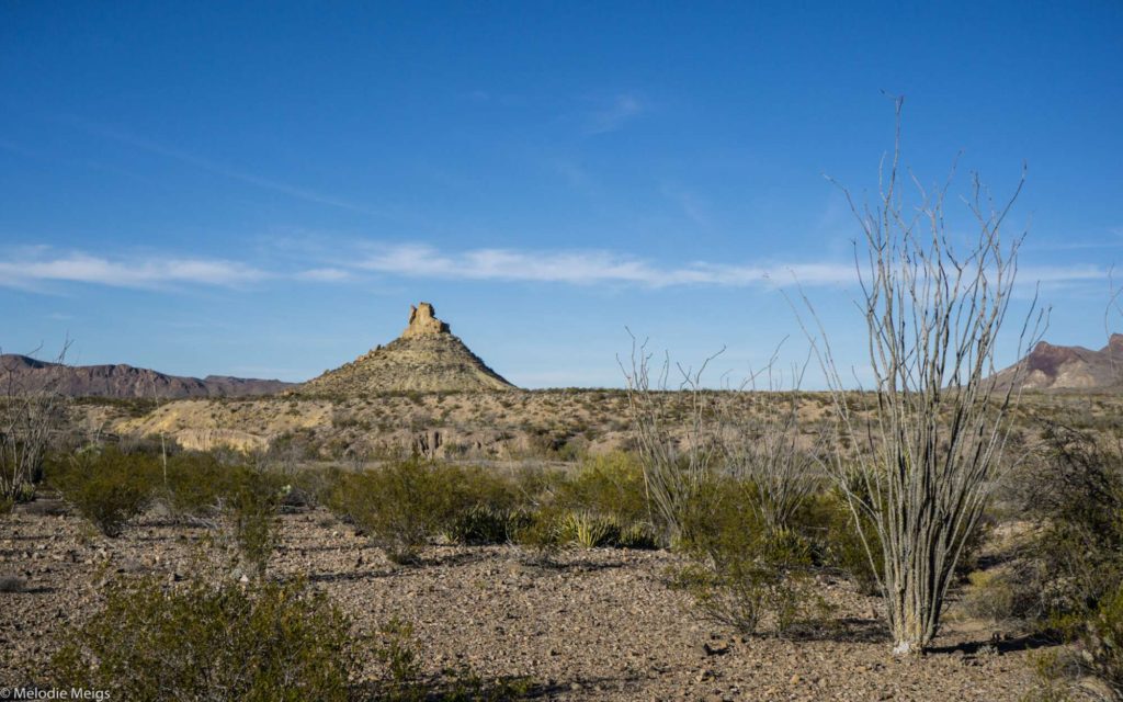
We made it in off season and had most of the park to ourselves. For the most part, you get flat to rolling terrain with low-lying shrubs that shelter the frequent roadrunner birds darting about:

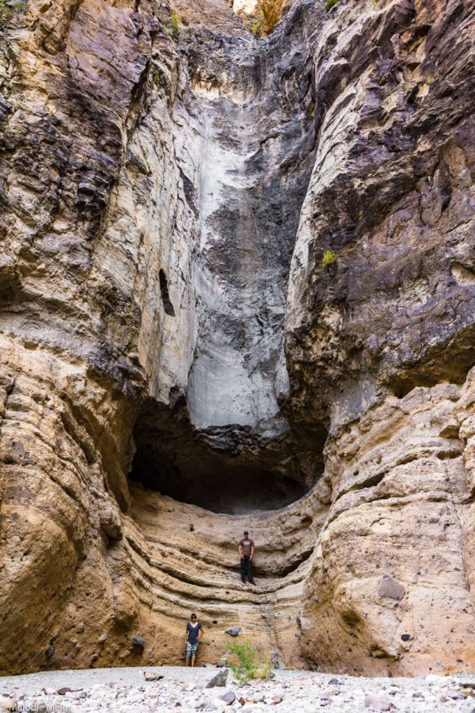
Along the scenic 50+ mile drive around the park, there’s interesting geological formations from pyramid structures to boulders balanced on top of each other forming windows to winding canyons.
The silhouettes of the Chisos Mountains change constantly as you drive around them.
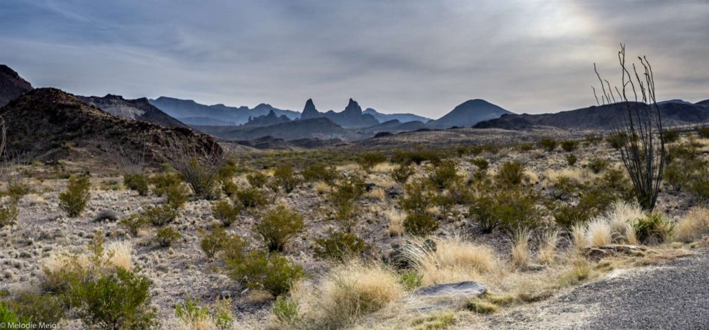
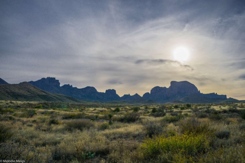
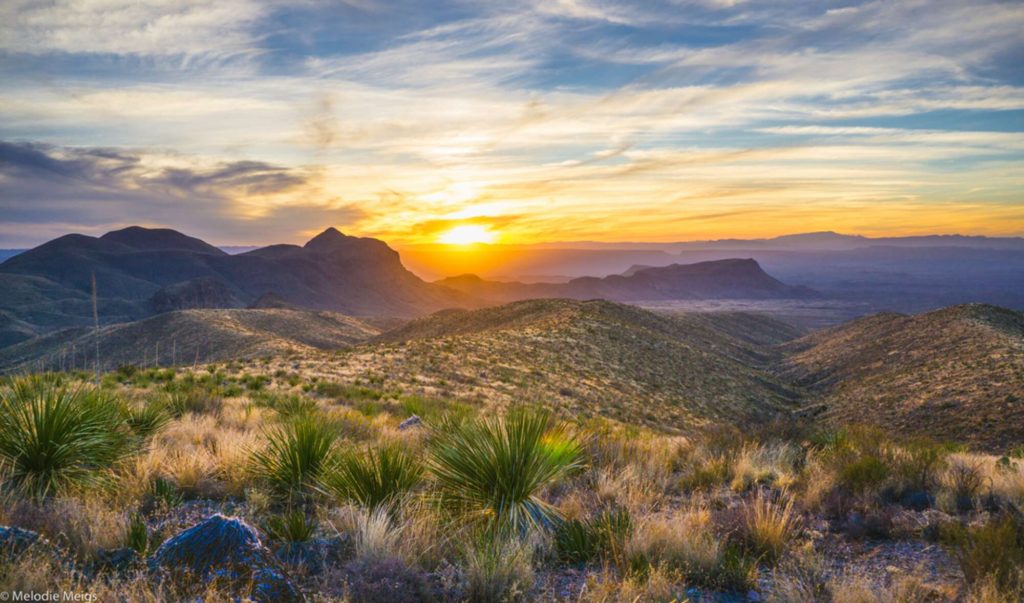
It’s staggering to think about the few families that settled here to ranch in the very rugged terrain.
You can drive all the way into the center of the Chisos Mountains, where the landscape changes dramatically compared to the desert below: in the basin you find oak, jumper, aspen, and fir trees, not to mention a 20+ degree temperature drop.
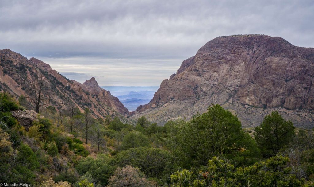
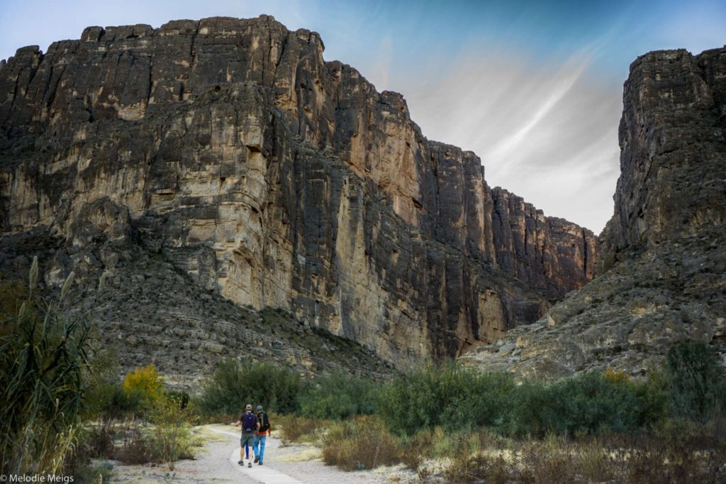
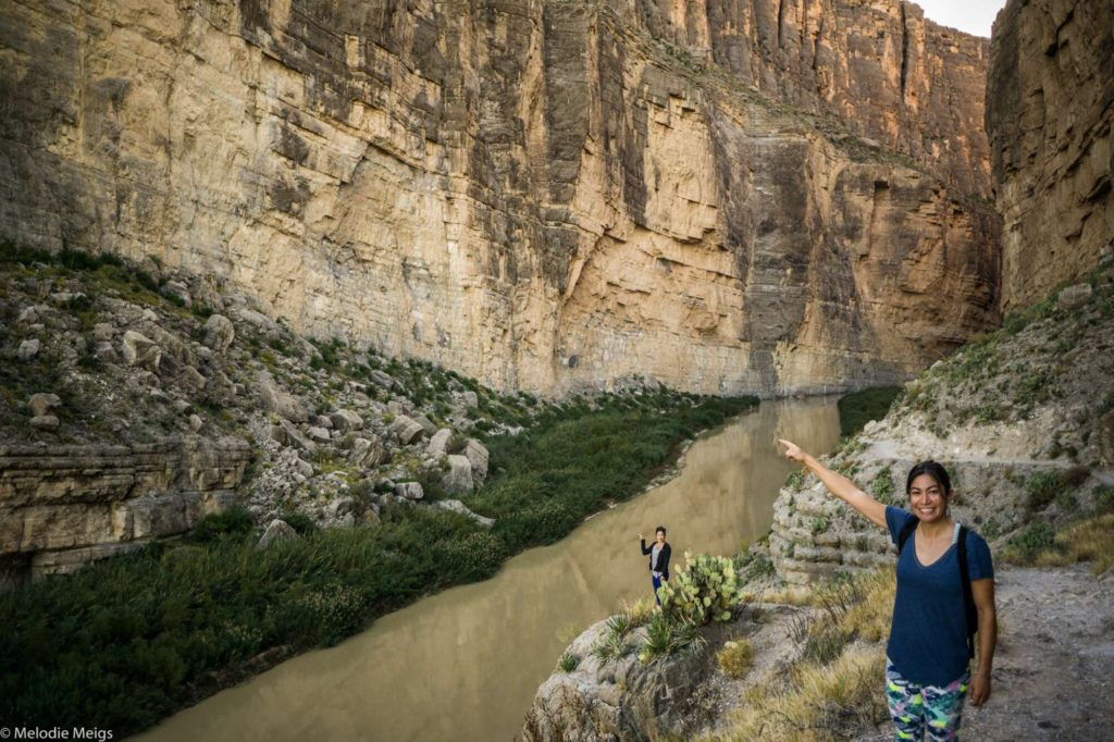
Santa Elena Canyon, Rio Grande, and Mexico
At the very south end of the park is the Rio Grande River and Santa Elena Canyon. Hi Mexico! Yes, it’s illegal to swim across and touch the other side. I do wonder how many people have tried rappelling down the canyon to cross.

Ghost Town
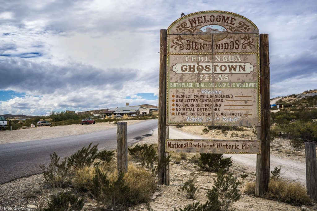
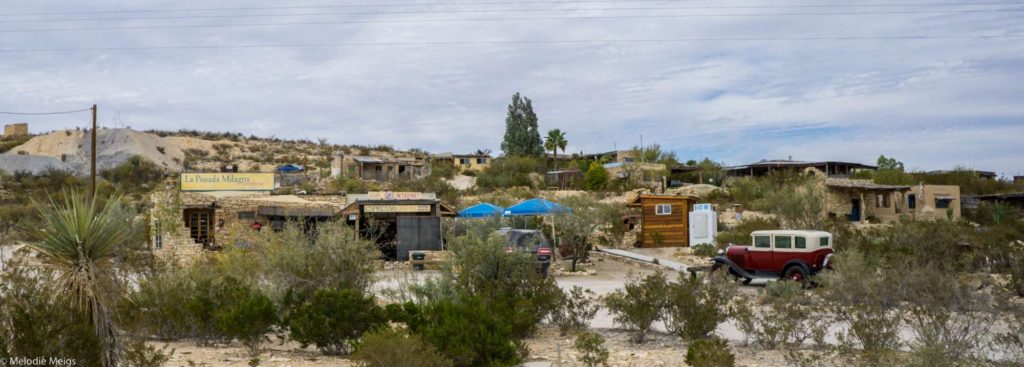
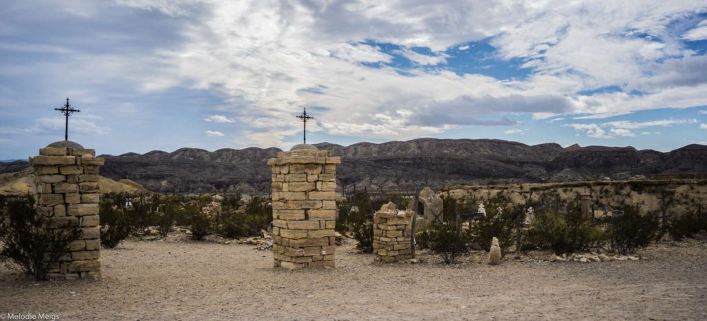
Driving out of Big Bend, you can opt to drive through the old ghost town of Terlingua.
→ Explore more articles in Travel Destinations